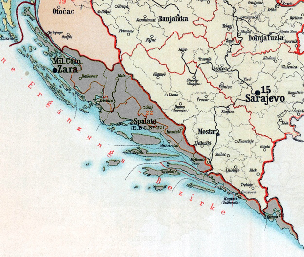
The image shows a map of Croatia during the Balkan War, with text and numbers indicating the extent of the Balkans.
Read full description
The image shows a map of Croatia during the Balkan War, with text and numbers indicating the extent of the Balkans. It is a detailed map, showing the country's borders, cities, and other geographical features.