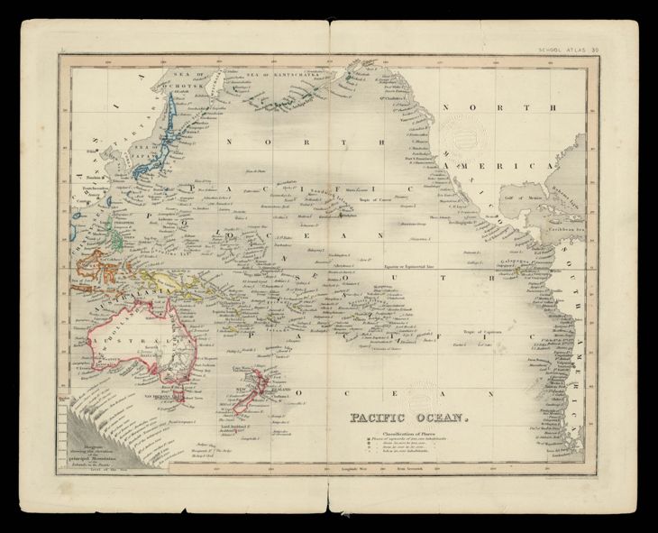
The image shows an old map of the Pacific Ocean with a black background.
Read full description
The image shows an old map of the Pacific Ocean with a black background. It is a school atlas 30, depicting the extent of the British Virgin Islands. The map is filled with text, providing detailed information about the region.