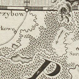
The image shows an old map of the British Isles with a black and white drawing of a man in a suit and tie.
Read full description
The image shows an old map of the British Isles with a black and white drawing of a man in a suit and tie. The map is detailed and shows the various geographical features of the area, such as rivers, mountains, and cities. The man in the drawing is wearing a long coat and a hat, and is holding a sword in his right hand. The text on the map is written in a classic font and is surrounded by a decorative border.