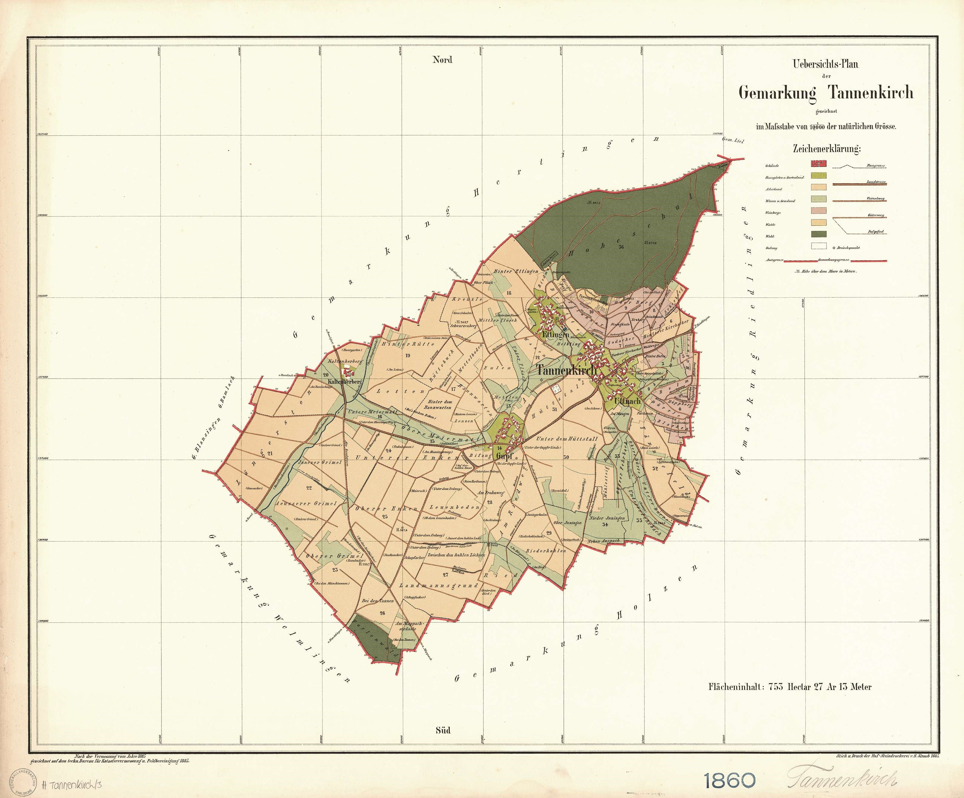
The image shows an old map of the city of Tannenkirche, Germany from 1860.
Read full description
The image shows an old map of the city of Tannenkirche, Germany from 1860. It is a detailed map, showing the streets, buildings, and other landmarks of the area. The map is framed in a photo frame, giving it a classic look.