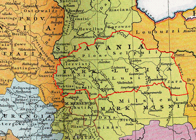
The image shows a political map of Slovenia, with its borders clearly visible.
Read full description
The image shows a political map of Slovenia, with its borders clearly visible. It is a detailed map, showing the various cities, towns, and other geographical features of the country. The colors used are mostly shades of blue, green, and yellow, with some red and white accents. The map also includes a legend that explains the different colors used to represent different regions.