Public domain photos
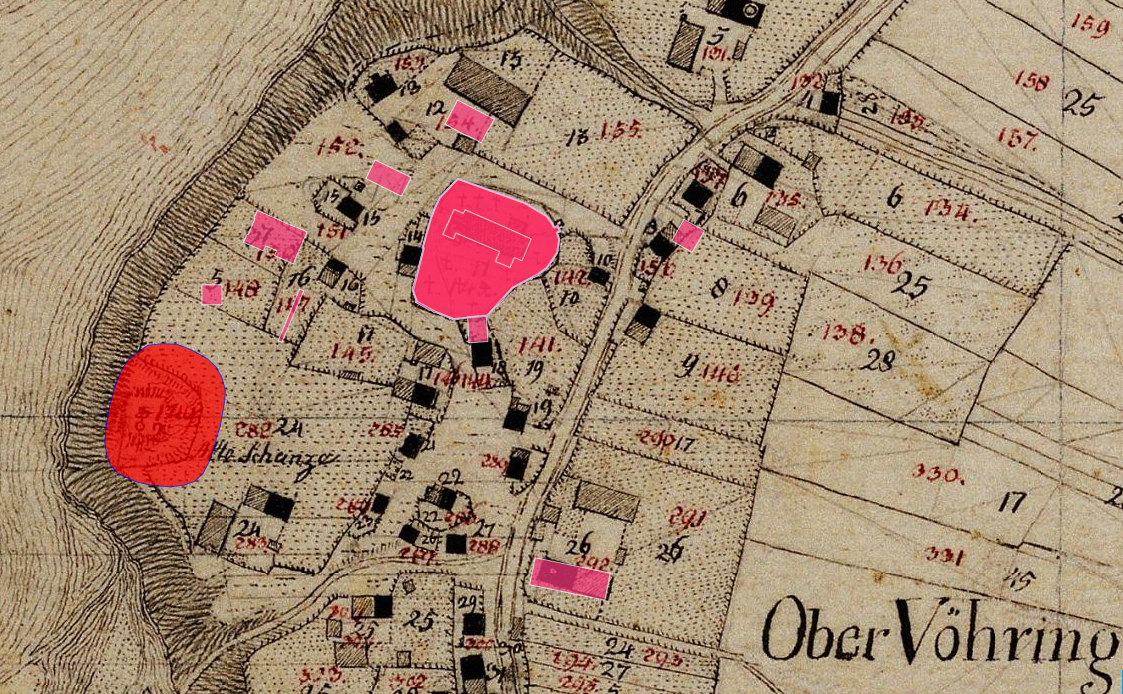
The image shows an old map of Ober Vöhrring with a red circle in the middle, indicating the location of the city. The map also includes numbers and text, providing further details about the city's layout.
 Open in library
Public domain photos
Open in library