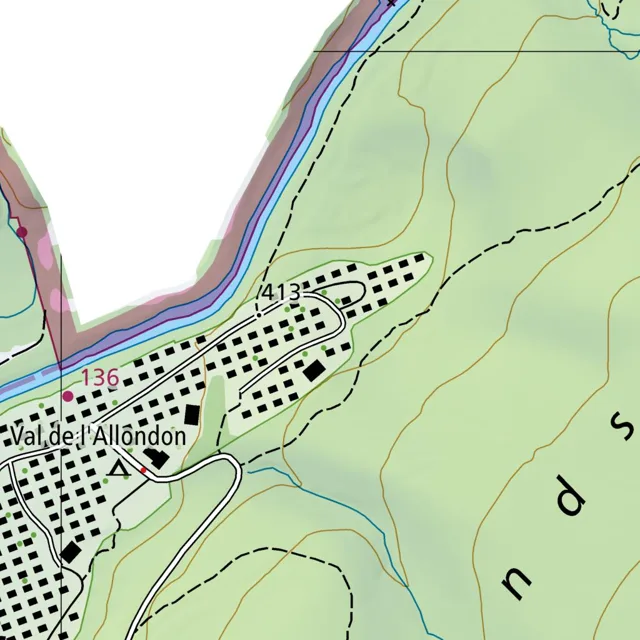
A residential settlement named Val de l'Allondon is situated in a valley, bounded by a river to the northwest and rising terrain to the east and south.
Read full description
A residential settlement named Val de l'Allondon is situated in a valley, bounded by a river to the northwest and rising terrain to the east and south. The settlement is characterized by a dense cluster of small black rectangles representing buildings, arranged along a network of winding white roads. These roads branch off a main artery that runs generally east-west through the center of the village.
To the northwest, a river flows in a southeasterly direction, marked by a blue line flanked by light blue and pinkish-grey shaded areas. A road follows the river's edge, separated from the water by a thin strip of land. The number 136 is placed near this road on the western edge of the village.
The village layout is irregular, with buildings clustered more tightly in the western and central sections and becoming more sparse toward the east. A loop road extends eastward, curving around a small green area before returning toward the center. The number 413 is located near this eastern loop.
To the east and south, the terrain rises, indicated by brown contour lines. A dashed black line, likely representing a trail or boundary, winds up the hillside from the eastern edge of the village, heading northeast. Another dashed line runs along the southern perimeter of the settlement. A thin blue stream flows southward from the hills, crossing the southern edge of the village. The words "nd s" are visible in large black letters across the green hillside in the southeast.