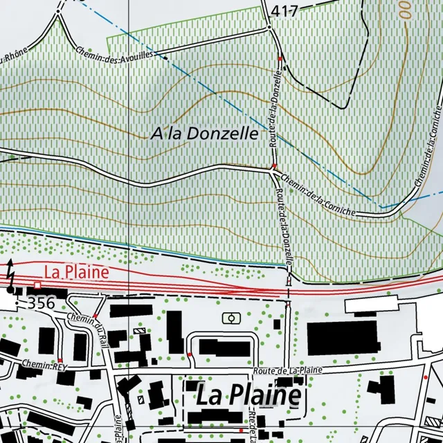
The area is divided into a hilly northern section and a more developed southern section, separated by a primary east-west corridor.
Read full description
The area is divided into a hilly northern section and a more developed southern section, separated by a primary east-west corridor.
In the northern region, the terrain is marked by numerous contour lines indicating elevation. A road, Chemin des Avouilles, enters from the northwest and curves southeast. Further east, Route de la Donzelle runs vertically through the center of the map, intersecting with the area labeled "A la Donzelle." Towards the northeast, Chemin de la Corniche winds through the hills, connecting to Route de la Donzelle.
The central transition zone is defined by a red-colored road running east-west, just above a railway line that parallels it. This corridor separates the rural hills from the settlement of La Plaine.
In the southern region, the settlement of La Plaine is characterized by a network of smaller roads and black building footprints. Route de la Plaine runs east-west through the center of the town. Connecting to it from the north is Chemin du Rail, which leads toward the railway line. To the west, Chemin REY branches off. The buildings are scattered, with several larger rectangular structures and smaller residential blocks interspersed with green circular markers representing vegetation. A small road, Route de la Plaine, also extends southward from the main town center.